The Baltic States – comprised of Estonia, Latvia and Lithuania – offer a diverse range of attractions for visitors. Distinct, yet united in a common history, all three nations are rich in culture, architecture and natural splendor. To give just a glimpse of all the things to see and do in the Baltic States, we’ve compiled a sample travel itinerary of our favorite points of interest. Use it to create your own Baltic travel itinerary!
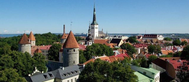
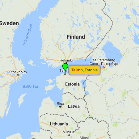
 Tallinn (Estonia) - Located on the shore of the Gulf of Finland, Estonia's capital and largest city is a charming mix of old and new. Tallinn's Unesco-listed Old Town is one of the best preserved Hanseatic town centers in the world, while a short stroll away you'll find commercial towers, modern shopping centers and trendy neighborhoods. Another draw is the capital's coastline. Lined with promenades and sandy beaches, the seaside offers beautiful views of the historic cityscape and is a popular summertime hangout for recreators and revelers alike. Tallinn (Estonia) - Located on the shore of the Gulf of Finland, Estonia's capital and largest city is a charming mix of old and new. Tallinn's Unesco-listed Old Town is one of the best preserved Hanseatic town centers in the world, while a short stroll away you'll find commercial towers, modern shopping centers and trendy neighborhoods. Another draw is the capital's coastline. Lined with promenades and sandy beaches, the seaside offers beautiful views of the historic cityscape and is a popular summertime hangout for recreators and revelers alike.Follow the link for more Tallinn info (photos, video, maps, etc). Maps: pop-up map, Google, Bing, Yandex Websites: City of Tallinn (official website), Wikipedia |
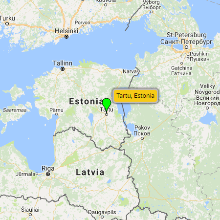
| Tartu (Estonia) - Located 186 km (116 miles) southeast of Tallinn, on the banks of the Emajõgi River, Tartu is a picturesque provincial town brimming with parks and stately old buildings. Home to numerous universities including one of Northern Europe’s oldest – the University of Tartu - its estimated that students comprise roughly one seventh of the city's population. This has fostered both a creative and scientific culture. There is no shortage of arts and entertainment, from theater and festivals to concerts and a vibrant nightlife. And on the knowledge side, in addition to institutions of higher learning, Tartu is also home to various educational attractions like the Estonian National Museum and the AHHAA Science Center. Follow the link for more Tartu info (photos, video, maps, etc). Maps: pop-up map, Google, Bing, Yandex Websites: City of Tartu (official website), Wikipedia |
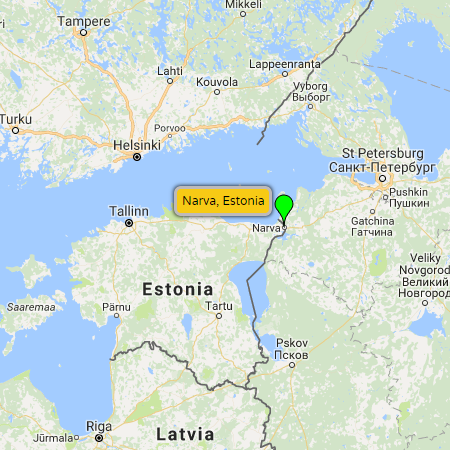
| Narva (Estonia) - Located on the west bank of the Narva River (which marks the border with Russia), stands Estonia's third largest city. Going back to the Middle Ages, the city has been at the crossroads of two culturally distinct worlds - the Catholic European North and the Orthodox Slavonic East. This contrast is strikingly represented in the architectural ensemble of two opposing fortresses. On the west bank of the river stands the 15th century Narva Castle built by the Order of Germanic Knights. On the east bank, within musket shot, stands the Ivangorod Fortress built in the same era. Another point of interest in the predominately Russian speaking town is the Baroque style Old Town Hall (built 1668 to 1671). Unfortunately, this is one of the only remnants of Narva's Old Town (built during Sweidish rule in the 17th century), due to the heavy damage the town inflicted during the 1944 Battle of Narva. About 13 km (8 miles) north of Narva visitors will also find the holiday resort of Narva-Jõesuu, popular with holidaying Russians who come to relax on the Gulf of Finland. Follow the link for more Narva info (photos, video, maps, etc). Maps: pop-up map, Google, Bing, Yandex Websites: City of Narva (official website), Wikipedia |
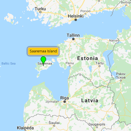
| Saaremaa Island (Estonia) - Located in the Baltic Sea east of the mainland, Estonia's largest island is a popular holiday retreat known for its beaches, spas and traditional villages. Points of interest include nature trails within the Viidumäe Nature Reserve, Kuressaare Castle and Saaremaa Museum found at the island's southern capital of Kuressaare, plus the Kaali Meteorite Crater Field (which is the first scientifically proven meteorite crater in Europe). Follow the link for more Saaremaa Island info (photos, video, maps, etc). Maps: pop-up map, Google, Bing, Yandex Websites: Wikipedia |
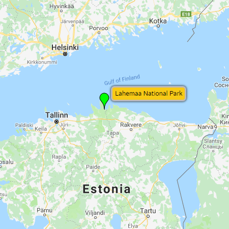
| Lahemaa National Park (Estonia) - The largest national park in Estonia (and one of the largest in Europe), it is situated in the far northern reaches of Estonia . Adjoining the Gulf of Finland to the north, the park covers 725 km² (475 km² of pine forest, lakes and peat bogs, plus 250 km² of sea). A popular destination for outdoor enthusiasts (both in the summer and winter seasons), the park is also home to several popular seaside towns (Loksa and Võsu), where visitors come to enjoy the sandy beaches and revelry during the summer months. Follow the link for more Lahemaa National Park info (photos, video, maps, etc). Maps: pop-up map, Google, Bing, Yandex Websites: Wikipedia |
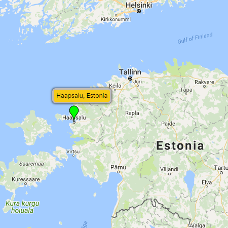
| Haapsalu (Estonia) - Haapsalu is a picturesque seaside town on the western shores of Estonia. Located just 98 km (68 miles) from Tallinn, its a popular destination for residents from the capital and those on route to the islands. A favorite retreat of the Russian Romanov family, who came for the warm seawater and medicinal mud treatments, the town still maintains a reputation as a spa destination (albeit a modest, more proletariat one). In addition to its spa hotels, the town offers lovely narrow streets with early 20th century wood houses, a striking episcopal castle that dates back to the medieval Roman Catholic 'Bishopric of Ösel–Wiek', international festivals, a quaint seaside promenade, as well as many splendid restaurants and cafes. Follow the link for more Haapsalu info (photos, video, maps, etc). Maps: pop-up map, Google, Bing, Yandex Websites: Wikipedia |
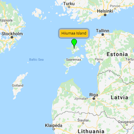
| Hiiumaa Island (Estonia) - Part of the West Estonian archipelago in the Baltic Sea, Hiiumaa is a sparsely populated island with a picturesque coastline and forest-covered interior. Estonia's second largest island - with an area of 989 km² (382 miles²) - its recognized for its remote beaches, untouched nature, as well as its historic lighthouses (notably Kõpu Lighthouse which has been in continuous use since 1531). And while lodging and dining options aren't as varied as on Saaremaa Island, Europe's longest ice road makes the island easily accessible year-round. Follow the link for more Hiiumaa Island info (photos, video, maps, etc). Maps: pop-up map, Google, Bing, Yandex Websites: Wikipedia |
| Lake Peipus (Estonia) - Lying on the border between Estonia and Russia, the lake's scenic shores and surrounding countryside offer visitors a glimpse into the area's charming ethnic and natural landscape. Here you'll find uncrowded beaches, modest holiday retreats, as well as a local market culture and a traditional religious minority of Old Believers. Enjoyable for those who want to escape the more frequented tourist hot-spots of the Baltics and enjoy rural, slower-paced surroundings for a few days. Follow the link for more Lake Peipus info (photos, video, maps, etc). Maps: pop-up map, Google, Bing, Yandex Websites: Wikipedia |
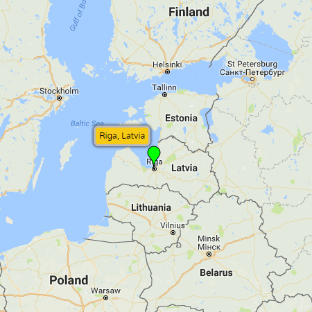
| Riga (Latvia) - Lying at the mouth of the Daugava River (which opens to the Gulf of Riga and the Baltic Sea), Latvia's capital is the largest city in the Baltics and home to roughly one-third of Latvia's population. Its historical center is is a UNESCO World Heritage Site noted for its Gothic spires and one of the world’s richest collections of Art Nouveau architecture. The city boasts a large central market, trendy pubs and restaurants, and regularly hosts cultural events, festivals, concerts and international sporting events. And with the largest international airport in the region, it is also a great staging area before setting off to explore the natural and rural sites of the Baltic states. Follow the link for more Riga info (photos, video, maps, etc). Maps: pop-up map, Google, Bing, Yandex Websites: Live Riga (Riga Tourism Development), Wikipedia |
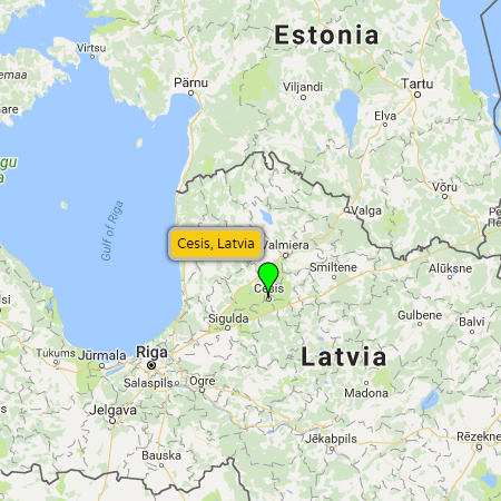
| Cēsis (Latvia) - With a history dating back to the early part of the 13th century, Cēsis is remains one of the most well-preserved medieval towns in the Baltic states. Located just 81 km (51 miles) from Riga, its a nice distance for a day or weekend trip from the Latvian capital. Visitors making the journey will be charmed by the narrow streets and historic buildings of the Old Town as well as the Cēsis Castle, built by German crusaders of the Livonian Order. And combined with the historical attractions, the town is also home to annual cultural events including the Cēsis Art Festival that generally runs for 6 weeks in July and August. Follow the link for more Cēsis info (photos, video, maps, etc). Maps: pop-up map, Google, Bing, Yandex Websites: Cēsis Tourism (Cēsis Tourism Information Center), Wikipedia |
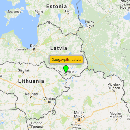
Daugavpils (Latvia) - Latvia's second largest city sits on the banks of the Daugava River, 232 km (144 miles) southeast of the nation's capital. Its strategic location at the crossroads of regional powers (Polish-Lithuanian influence to the west and Russian influence to the east) has resulted in a colorful and at times volatile history. Starting in 1275 when the Livonian Order built Dünaburg Castle 20 km (12 miles) upriver from Daugavpils, the local region has been ruled over by Poles, Russian, Swedes and Germans. As such, the ethnic makeup of the town has witnessed periodic changes as well. Up until the Holocaust for instance, Daugavpils was home to the most prominent Jewish community in eastern Latvia – with up to 40 synagogues and over 40% of the town's population. Today Daugavpils is predominately a Russian speaking city, with Latvian and Polish minorities. Sites of interest include...
Maps: pop-up map, Google, Bing, Yandex Websites: City of Daugavpils (official website), Wikipedia |
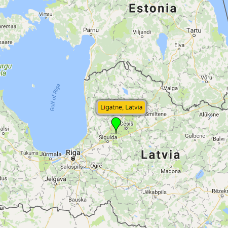
| Līgatne (Latvia) - Located just 65 km (40 miles) northeast of Riga, in the heart of the Gauja National Park, is the little town of Līgatne. An industrial village built around a paper mill, today its biggest draw is the Līgatne Nature Trails. Outdoor enthusiasts come to explore extensive trails through the reserve and see a diversity of wild plants and animals native to Latvia. There are few historical sites to see in Līgatne apart from some interesting 19th century wooden row houses (built for paper mill workers), as well as a once top secret Soviet bunker (built to shelter Latvia's Communist elite in case of a nuclear war). Follow the link for more Līgatne info (photos, video, maps, etc). Maps: pop-up map, Google, Bing, Yandex Websites: Visit Ligatne (official website), Wikipedia |
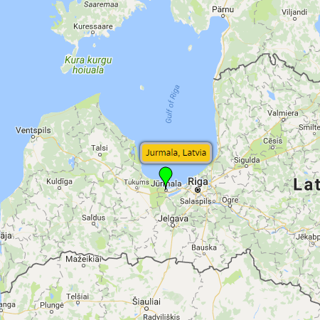
Jūrmala (Latvia) - Only 25 km (16 miles) west of Riga, Jūrmala (pronounced Yoor-mu-la) is a resort town on the Gulf of Riga. In essence a 32 km strip of land consisting of 14 townships, the region has long drawn tourists from near and far. Starting in the late 18th century, through the communist era, and to present day, many of society's elites have come to enjoy Jūrmala's long white-sand beaches, pine forests, mineral springs and fresh air. Architectural delights dot the region with many fine examples of wood structures built in the neoclassical and National Romantic styles of architecture. (A few less sightly Soviet concrete sanatorium can also be found in the mix.) Sites of interest include...
Maps: pop-up map, Google, Bing, Yandex Websites: Jūrmala Tourism (official website), Wikipedia |
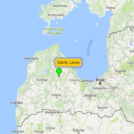
Sabile (Latvia) - Located 108 km (67 miles) west of the nation's capital, the small village of Sabile is noted (in the Guinness World Records) to be the site of the most northerly vineyard in the world. Here on a small hill covering 1.5 hectares (3.7 acres), visitors will find Vīnakalns (Wine Hill) which has roughly 25 varieties of grapes as well as other exotic fruit trees. First established between the 14th and 16th centuries (when it was the site of a castle of the Livonian Order), and expanded during the reign of Duke Jacob in the middle of the 17th century, the vineyard now takes center stage in the annual Sabile Wine Festival (last weekend of July). Other sites of interest include...
Maps: pop-up map, Google, Bing, Yandex Websites: Sabile Tourism (official website), Wikipedia |
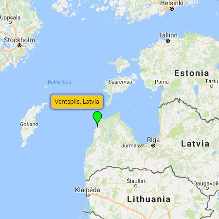
Ventspils (Latvia) - Located in northwestern Latvia at the mouth of the Venta River is a city with a long naval and industrial history due to its strategic, ice-free location on the Baltic Sea coast. The city's name (which literally means “castle on the Venta”) refers to the Livonian Order castle built here in the 13th century. It became an important mercantile city of the Hanseatic League in the early 14th century and saw the push and pull of Polish-Lithuanian, German, Swedish and Russian influence thereafter. Today it remains an important port for export of natural resources coming from Russia, but has also worked hard to develop an atmosphere appealing to visitors who come for its beaches and cultural attractions. Sites of interest include...
Maps: pop-up map, Google, Bing, Yandex Websites: Ventspils Tourism (official website), Wikipedia |
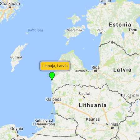
Liepāja (Latvia) - Located on the shore of the Baltic sea on the nation's far western coastline, is Latvia's third largest city (after Riga and Daugavpils). First recorded history of the town goes back to a 13th century settlement established here by the Teutonic Order. Today it remains an important ice-free commercial port, a summertime tourist destination (popular for its long sandy beaches), and a cultural hub (home to a disproportionately large number popular Latvian musicians). Sites of interest include...
Maps: pop-up map, Google, Bing, Yandex Websites: City of Liepāja (official website), Wikipedia |
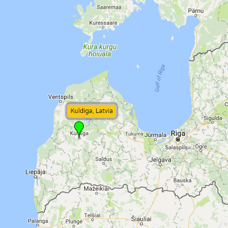
Kuldīga (Latvia) - A delightful little city in western Latvia, Kuldīga is the perfect destination for a few peaceful days of strolling historical streets and escaping the hordes of summertime tourists in the nation's capital. Long called by its German name - Goldingen - the city is best known for its Old Town with buildings dating as far back as the 17th and 18th centuries. Other notable attractions include...
Websites: City of Kuldīga (official website), Wikipedia |
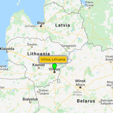
| Vilnius (Lithuania) - Situated in southeastern Lithuania at the confluence of the Vilnia and Neris rivers, Vilnius is the nation's capital and largest city, and the second largest city in the Baltics states (after Riga, Latvia). The city's Old Town was declared a UNESCO World Heritage Site in 1994 thanks to a well preserved historical center that covers an area of 3.6 km² (1.4 miles²). With origins dating back to the 14th century, the area is most noted for for its ensemble of decorative Baroque buildings although examples of Gothic, Renaissance, and Neoclassical styles can also be found. In addition to the city's splendid architecture, Vilnius offers plenty of green space for recreation, plus a myriad of sports, music, arts and cultural events year-round. Follow the link for more Vilnius info (photos, video, maps, etc). Maps: pop-up map, Google, Bing, Yandex Websites: Vilnius Tourism (official website), Wikipedia |
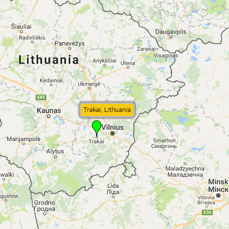
| Trakai (Lithuania) - Lying 28 km (17 miles) west of Vilnius is the historic city of Trakai. Spread along a 2 km (1.2 mile) long peninsula - in the middle of the scenic Trakai Historic National Park – the town is one of Lithuania's most popular tourist destinations. Its crowning attraction - Trakai Island Castle - is a late 14th century, early 15th century red-bricked Gothic castle that rises majestically from Lake Galvė. In the vicinity of Trakai visitors can also explore the older (less preserved) Trakai Peninsula Castle, St. Mary Church (Gothic origin with Baroque restoration), and Užutrakis Manor (a 19th-century residential manor on the opposite shore of Lake Galvė). Follow the link for more Trakai info (photos, video, maps, etc). Maps: pop-up map, Google, Bing, Yandex Websites: Trakai Tourism (official website), Wikipedia |
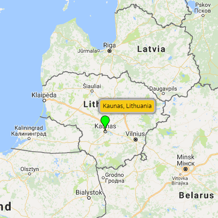
| Kaunas (Lithuania) - Located in the central part of Lithuania at the confluence of the Nemunas and Neris rivers, sits the nation's second largest city Kaunas. Like Vilnius, the city has a well-preserved Old Town with Gothic, Renaissance and Baroque styles of architecture, spacious green parks, a vibrant nightlife, and a rich assortment of arts and cultural events. In addition one can explore some of the finest examples of European Art Deco architecture that were constructed during the interwar period when Kaunas served as the temporary capital of Lithuania (from 1920 to 1939). Follow the link for more Kaunas info (photos, video, maps, etc). Maps: pop-up map, Google, Bing, Yandex Websites: Kaunas Tourism (official website), Wikipedia |
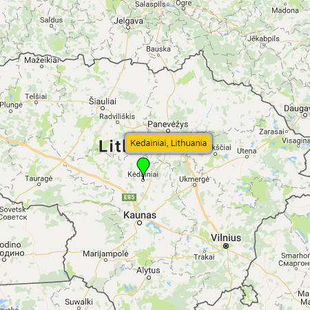
| Kėdainiai (Lithuania) - More or less the geographical center of Lithuania, Kėdainiai is located 51 km (32 miles) north of Kaunas. One of seven cities in Lithuania that have an Old Town, its historic district is roughly 3 km² (1.2 miles²) in size – one of the largest in the nation. Buildings and squares in the Old Town date back as early as the 17th century, and with such a rich history combined with summertime festivals and cultural events, its a pleasant destination for a day trip from Kaunas or a few days of leisurely exploring and wandering around. Follow the link for more Kėdainiai info (photos, video, maps, etc). Maps: pop-up map, Google, Bing, Yandex Websites: Kėdainiai Tourism (official website), Wikipedia |
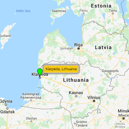
| Klaipėda (Lithuania) - Lithuania's third largest city, Klaipėda, is located on the Baltic Sea coast. A mostly ice-free port at the mouth of the Akmena-Danė River, the city was long known as Memel – the northernmost city in the Kingdom of Prussia and Germany up until the 1919 Treaty of Versailles. As such, many buildings in its Old Town are constructed in the German fachwerk style (distinctive for its half-timbered facades). The city, outside of the historic center, is essentially an industrial city so most tourists plan their visit to Klaipėda in conjunction with a visit to the adjacent Curonian Spit. Follow the link for more Klaipėda info (photos, video, maps, etc). Maps: pop-up map, Google, Bing, Yandex Websites: City of Klaipėda (official website), Wikipedia |
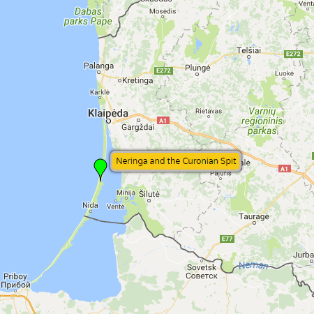
| Neringa and the Curonian Spit (Lithuania) - Neringa is a municipality in westernmost Lithuania comprising of several villages on the Curonian Spit. Separated from mainland Lithuania by Curonian Lagoon, it is accessible via a ferry crossing from Klaipėda or overland via Kaliningrad, Russia. The Curonian Spit itself is a 98 km (61 mile) long, narrow peninsula that separates the Curonian Lagoon from the Baltic Sea coast. Its northern portion lies within Lithuania while its southern portion lies within Kaliningrad Oblast, Russia. Shared by both countries, its a UNESCO World Heritage Site renowned for its drifting sand dunes, internationally recognized beaches, family-owned guesthouses and restaurants (serving fresh local seafood), as well as hiking, biking, and sailing opportunities. Follow the link for more Neringa and the Curonian Spit info (photos, video, maps, etc). Maps: pop-up map, Google, Bing, Yandex Websites: Neringa Tourism (official website), Neringa Accommodations, Wikipedia |
| Šiauliai (Lithuania) - Due to its central location, Lithuania's fourth-largest city Šiauliai (pronounced show-ley) is a convenient stopover for those traveling through the Baltic states. And while somewhat light on attractions (in part due to the destruction incurred during both world wars), it still offers enough to see and do for a one-day or multi-day stopover. Its most well-known attraction is the Hill of Crosses located 12 km (7.5 miles) north of the city center. Both a religious site and a memorial to Lithuanian national identity, the hill contains roughly 2 million crosses of all styles, designs and sizes that were brought by ordinary citizens. In addition to the Hill of Crosses, visitors can enjoy a leisurely stroll in the city center and along the pedestrian boulevard “Vilniaus Street”, which is lined with numerous cafes and restaurants. After checking out the city center's numerous sculptures, historical buildings and themed museums (cat museum, bicycle museum, photography museum, chocolate museum, national dolls museum, etc.), one can also take a short walk east to an outdoor recreation area on the shores of Lake Talša. Follow the link for more Šiauliai info (photos, video, maps, etc). Maps: pop-up map, Google, Bing, Yandex Websites: Šiauliai Tourism (official website), Wikipedia |
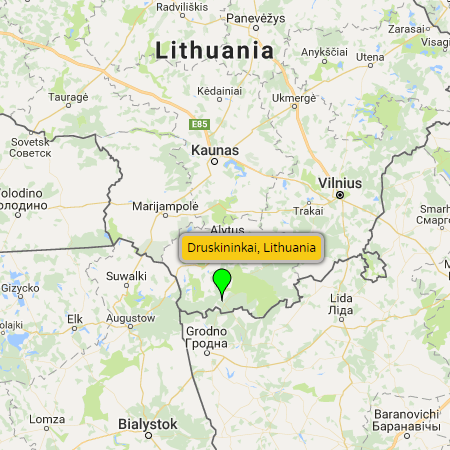
Druskininkai (Lithuania) - Located on the banks of the Nemunas (Neman) River in southern Lithuania (not too far from both the Belarusian and Polish borders), Druskininkai has been a spa resort town going back to the 19th century. Set in a picturesque backdrop of rivers, lakes and forests (situated only a few kilometers from Dzūkija National Park), tourists still flock to health resorts here for wellness procedures that incorporate the area's lovely environment and natural mineral springs. In addition to rehabilitating at a local spa, visitors can enjoy...
Maps: pop-up map, Google, Bing, Yandex Websites: Druskininkai TVIC (Tourism & Business Info Center), Discover Druskininkai (tourism website), Wikipedia |
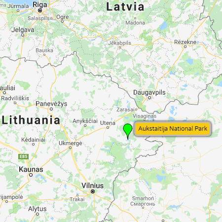
| Aukstaitija National Park (Lithuania) - Located in eastern Lithuania, Aukstaitija National Park is the nation's oldest park – established in 1974. Covering 405.7 km² (156.6 miles²) the park is famous for its labyrinth of over one hundred lakes that interweave among pine, spruce and deciduous forests. Because of the numerous lakes (and interconnecting streams), Aukštaitija is a popular destination for water sport enthusiasts, with plenty of opportunities for swimming, boating, kayaking and angling. Wildlife enthusiasts are attracted by the countless species of flora and fauna including 48 species of birds, plus native elk, deer and wild boar. For history and culture, visitors can explore local villages that preserve historic wooden architecture including an 18th century octagonal wooden church and bell tower (Paluse village) and a 19th century watermill (Ginučiai village). Follow the link for more Aukstaitija National Park info (photos, video, maps, etc). Maps: pop-up map, Google, Bing, Yandex Websites: Aukstaitija National Park (official website), Wikipedia |
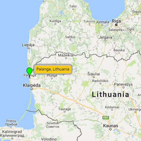
| Palanga (Lithuania) - Located in western Lithuania on the shore of the Baltic Sea, Palanga is the nation's most popular seaside resort. The town's sleepy winter population of roughly 16,000 explodes in size during the summer when tourists from throughout Lithuania and abroad come to enjoy the area's long sandy beaches and festive atmosphere. Even with 18 km (11 miles) of sand beaches, the seaside becomes quite crowded during the summer creating a love-hate relationship with residents and visitors. For those who prefer a quieter, more idyllic beach vacation, there are definitely more peaceful alternatives. For those looking for revelry, Palanga is a great choice. Basanavičius Street is the focal point of the resort town – a busy pedestrian street lined with restaurants, cafes, nightclubs, and entertainment venues. The street leads directly to the 470 m (1542 foot) Palanga Pier, which also gets a lot of traffic throughout the day and evening, particularly during sunset. Follow the link for more Palanga info (photos, video, maps, etc). Maps: pop-up map, Google, Bing, Yandex Websites: Palanga Tourism (official website), Wikipedia |